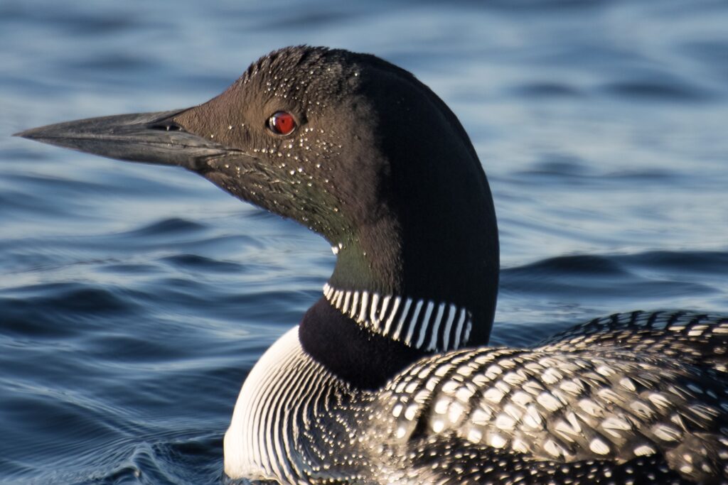
Environmental Flow Standards

Alt text: A 3D map of Canada in varying shades of blue highlighting provincial and territorial borders. Territories are depicted in a darker hue than some southern provinces, with a focus on geographic outlines and perspectives. / Carte en 3D du Canada dans une gamme de bleus, soulignant les frontières provinciales et territoriales. Les territoires sont représentés dans une teinte plus sombre que certaines provinces du sud, mettant laccent sur les contours et les perspectives géographiques.

Annual Network Priorities and Feedback for 2022

Since the Our Living Waters Network first took form in 2016, membership has grown to 157, including 117 organizations and 40 individuals, with a Shared Measurement System of 24 impact measures to track progress on our ambitious goal of all waters in good health by 2030! Each year, members inform our Network priorities through the Annual Survey. This

Annual Network Priorities and Feedback for 2022 Read More »

Scroll to Top